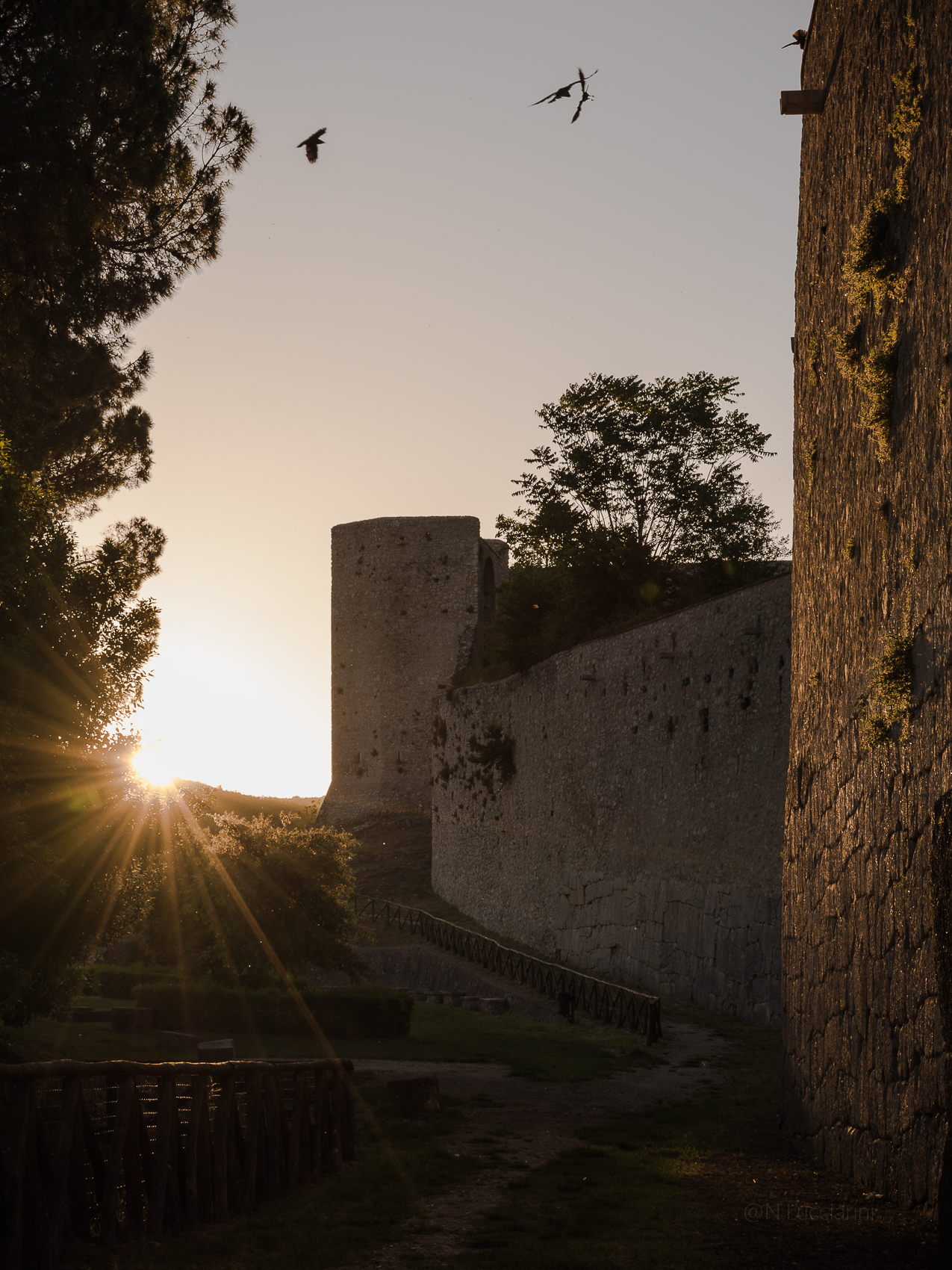
The ancient city walls of Amelia extended over an area of approximately 20 hectares. The preserved sections of these walls, supplemented with restorations and reinforcements in late antique and medieval times, were originally built using two different construction techniques: opus polygonale in limestone and opus quadratum in clastic travertine.
The walls follow an irregular path that adapts to the conformation of the land, and adapts to the different exposures of the surrounding area. On the particularly exposed northern and southern sides, the walls were massive, while on the northern side they followed the steep cliffs overlooking the Rio Grande. In the north, north-east and north-west sectors, the walls climbed up to the precipices and included the highest peaks of the hill, such as the current position of the hospital to the north and the high ground of the Arce to the south-east, where the Cathedral now stands.
Scholars have different opinions on the dating of the walls, placing their construction between the late 4th and 3rd centuries BC. However, the erection or strengthening of the walls fits well with the period in which the cities of central Italy gradually entered Rome’s political orbit. A considerable part of the walls of Amelia, probably the one built in polygonal opus that surrounded the southern part, may have been erected after the mid-3rd century BC, at the same time as the initial urban planning according to the typical schemes of Romanization. In this period, the Umbrian city took on typical characteristics of Roman colonies, with a well-defined perimeter that enclosed the urban area, differentiated public and private spaces and a regular layout with geometric blocks separated by main and secondary streets that intersected orthogonally.
The least preserved parts are found along the northern slopes, which are steeper and more inaccessible. Recent investigations have identified sections of opus quadratum travertine walls on the north-eastern slope, which appear to be incorporated into the base of the medieval fortifications. Fragments of the limestone walls are present in the cellars of the buildings, in the walls surrounding the gardens and at the bases of the buildings. On the north-west side, the stretch known as Via della Valle shows less precision in execution.
On the eastern side, there was an ancient gate called Porta Leone IV. The most significant stretch of the city walls, built in third phase polygonal limestone opus, winds along the south, south-east and south-west sides of the urban area. These walls, perhaps built at the same time as the opening of the Via Amerina, provided an important scenic backdrop for traders and travelers who came to the city from Rome during the period of initial Romanization. On the south-west side, a segment of walls with a different building technique is attributed to a restoration at the time of Pope Leo IV (847-855) and is made with smaller carnelian blocks. The attribution to this pope is based on a source contained in the Liber Pontificalis (CV, 82). In this same sector, a section of the ancient fortifications in opus incertum, probably dating back to a restoration between the end of the 2nd and the first half of the 1st century BC, is incorporated into the medieval walls. Along the walls there were several ancient openings next to the more recent gates: the Porta della Valle on the north-west side, the Porta Posterola on the north-east side, the Porta Leone IV and another opening discovered during a bombing during the Second World War World (known as Gate of the Sun) on the eastern side. Of particular importance was the Porta Romana, the main gate of the walls, which opened towards the south in the direction of Rome and constituted the cardo maximus of Roman urban planning.